About a mile south of our campground is West Fork Trailhead, a trail I'd read about and was looking forward to hiking. Author Zane Grey hiked it, and was inspired to write his novel, Call of the Canyon. The canyon was calling me too.


We will be trekking in the footsteps of Zane Grey, Clark Gable, Jimmy Stewart, Herbert Hoover, and Walt Disney.

The lodge in its heyday, long before a fire destroyed it in 1980.


Another crossing.


Stopping to rest.


A mini slide rock. Probably popular in the summer. See the lady ahead of us across the creek?


We followed her without looking around for the basket rock cairn.

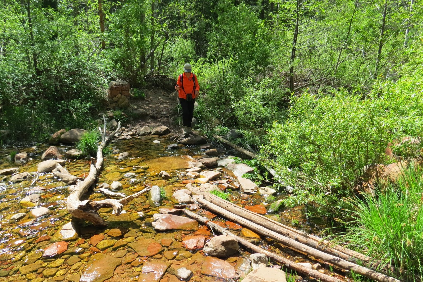
And didn't notice that we weren't supposed to cross here. No wonder we lost count of the crossings.

We followed a slightly narrower trail on the other side, never figuring out our mistake until on the way back.


Crossing again put us back on the right trail. So that was probably 2 extra crossings we did.


And another crossing.


We stopped at this crossing for a snack.


Sometimes you have to stand in the middle of the creek for the best picture.


The canyon narrows.

The rocks get farther apart. Notice Birdie is using her hiking stick here.


Not much to say about it except ooh and ahhh.


Coming to the end of the maintained trail. We could go farther, but...


the non-maintained trail continues that way.

A good place for a picnic lunch before starting back.

Birdie shared her bread with the fish.


Just a couple more shots on the return trip.

This time we counted all 13 crossings correctly.

That was Friday. On Saturday we had a snow day and declared it a day of rest in the campground.
I swear, Liz, you said 4.4 miles round trip. That trail just kept growing. It was awesome!! Nice shot of the wildlife, lil fat dude! Water shoes next time we do that trail, plus 60 oz of water! Thanks for leading the way, no butt shots there!
ReplyDeleteWhat fantastic views. And I love the fact that you have pictures of both you and Birdie along the way. That pic of "spunky Birdie" is priceless.
ReplyDelete