Great Basin National Park is best known for two main features: The mountain called Wheeler Peak that towers 13,o63 feet above sea level,

And Lehman Caves that descend deep underground at the base of the mountain.

After we got set up in the campground (my site with wild roses on one side, a rushing creek on the other, and the mountain behind), we decided to tour the caves first.


Looking up as we walk through a narrow passageway.


Until 1940, when a tunnel was constructed, visitors to the cave lowered themselves through this original entrance.

This large room is called the "Lodge," because it is said to have been used for initiation ceremonies into the Elks Club. It was also used for dances, and perhaps a speakeasy during prohibition. Stalactites were broken off the ceiling so people wouldn't hit their heads. They didn't realize the damage they caused.

It's amazing the caves are as well preserved as they are, as early caretakers and visitors were ignorant of the importance of protecting these fragile formations.


The formations were beautiful, and even more colorful when the guide shown an ultraviolet light on them.


From the parking area at the top, we took the 3-mile Alpine Lakes Loop Trail (blue line) which climbed another 500 feet, passing two glacial lakes.

Snow is melting slowly, filling creeks with run-off.


A shallow depression formed by glaciers and filled with snow-melt and rain.
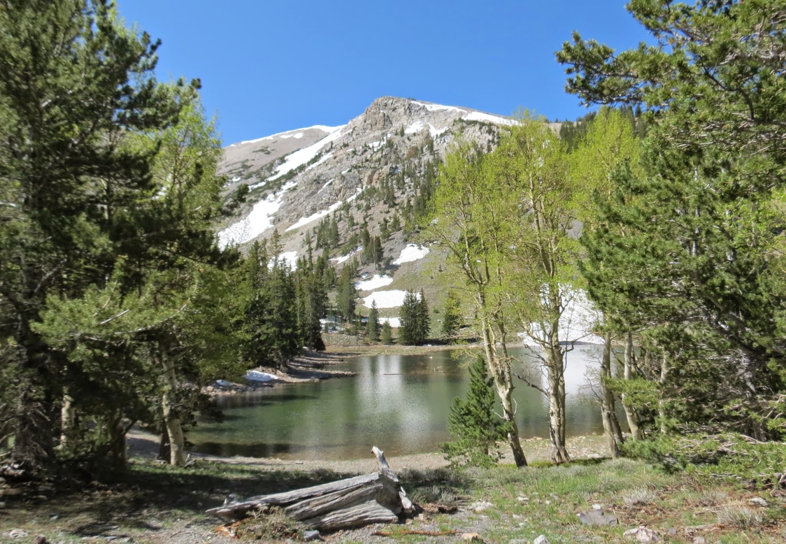


This creek of snow-melt flows into another glacial lake.


Elevation is 10,230 feet at Teresa Lake, a little lower than Stella Lake.


Tomorrow we travel again....this time to the Ruby Mountains of northern Nevada. May not have cell/internet service again.
Fal de ri, fal de rah, a knapsack on our back. Wow, snow and it's mid 90s here. Still, don't like snow. I hear you can choose your temperature by going up or down the mountain though....a little birdie told me.
ReplyDeleteI remember that song we learned it in Junior High Choir and I've always loved it. Funny how we can remember the words to songs so well for so long. I think this is my favorite place so far that you have been.
ReplyDelete